Maps And Navigation
A good navigation app does more than draw a line on a map. The right one depends on how you are getting around, whether driving, taking public transport in a city, or walking and cycling off-road, and each of the apps here is strongest at one of those.
Before relying on any app abroad, download offline maps for the areas you will visit, in case you lose signal or want to avoid roaming charges, and check that the app's public transport coverage includes your destination. For hiking, carry a backup such as a paper map or a charged power bank, because navigating drains a phone battery quickly.
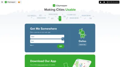
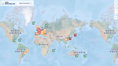
In cities, Citymapper's public transport directions combine buses, trains, walking and cycling with real-time information, in the cities it covers. For driving, Waze routes you around traffic, hazards and delays using reports from other drivers, ViaMichelin is a route planner for longer road journeys, and Here WeGo is a free app with driving directions and public transport routes.
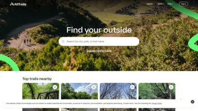
On trails, AllTrails helps you find and follow hiking, cycling and running routes worldwide, with a free plan and a paid upgrade that adds features such as offline maps.
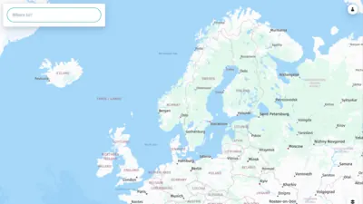
For planning before you go, Wander's free map app turns places saved from Instagram, TikTok, YouTube and travel blogs into pins on a map, alongside official maps from destinations.